Projects By Location
For the past ten years we've been integrating affordable, seamless geographic information and remote sensing services into small and mid-range organizations. Listening to industry specialists and helping them realize their spatial data needs, we are proud of our client and project diversity. We aim to do the right thing, to help those with vision achieve the assessments and data necessary to build a better tomorrow. We've completed projects from the below regions and are ever strengthening our networks there:
- Central Africa,
- Southeast Asia and Pacific Islands,
- Australia and New Zealand,
- Europe, and
- West and Central North America.
The greatest thing is seeing the diversity of causes utilizing GIS and Remote Sensing. We're lending partnering organizations technical advances and published scientific findings from many fields. From poverty and education initiatives to infrastructure and wildlife assessments, we're helping projects around the globe target their trickiest problems and identify solutions. At GIS Sensing we've grouped these greatly varying disciplines and goals into four main industries:
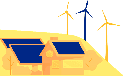
- Energy,
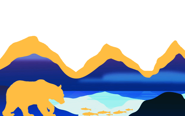
- Environment,
- Healthcare, and
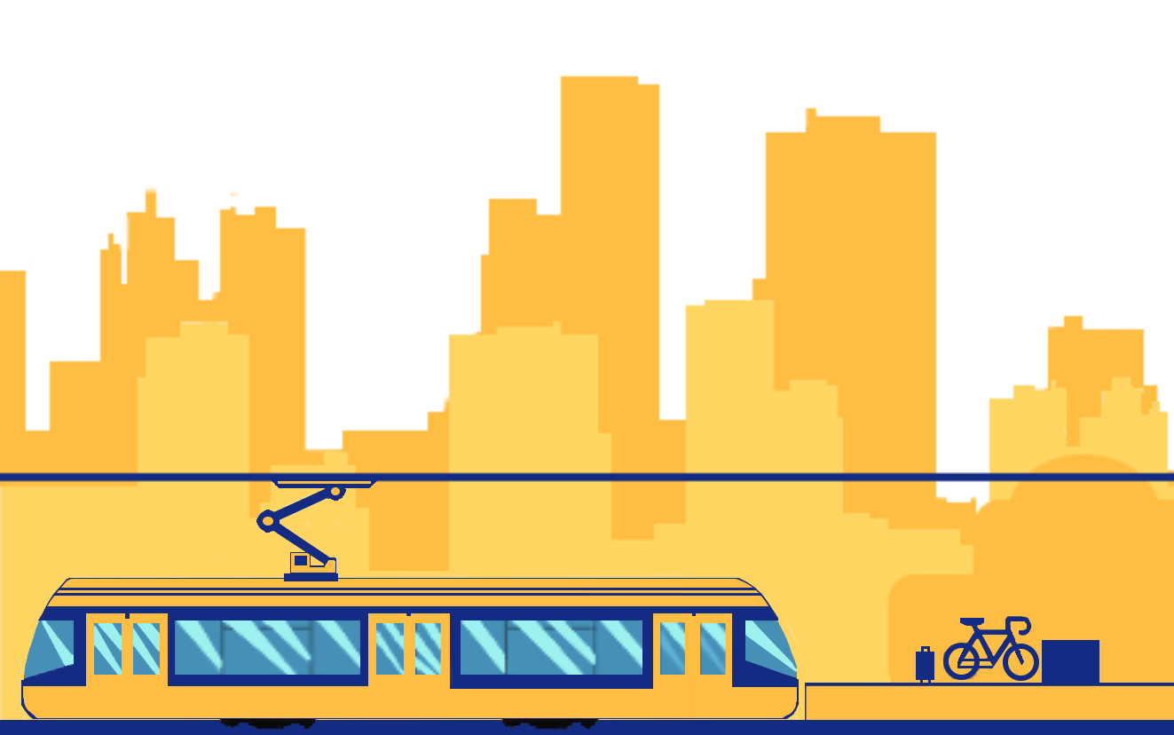
- Transportation.
Per industry, we're helping small and mid-size organizations reach their goals. By streamlining their decision making and assessing their current standings, we help teams across the world better strategize and reach business objectives.