Request An Analyst For Your Project
Tell us how you think GIS or Remote Sensing would help your project and operations.
Tell us how you think GIS or Remote Sensing would help your project and operations.
Problem solving is most inhibited by lack of imagination, information, and resources. We help you tackle each one.
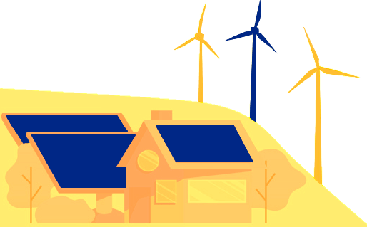
Weather monitoring campaigns, site suitability, hazard assessment, mapping out project locations and assets, contacting land owners, and everything else GIS and Remote Sensing can help with the energy development process.
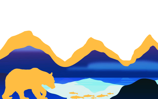
Environmental impact assessments, biodiversity by location, monetization of natural resources, sustainability management plans, land use change, identifying sources of groundwater contamination, flood levee mapping, locating vulnerable populations amidst hazards, and more.
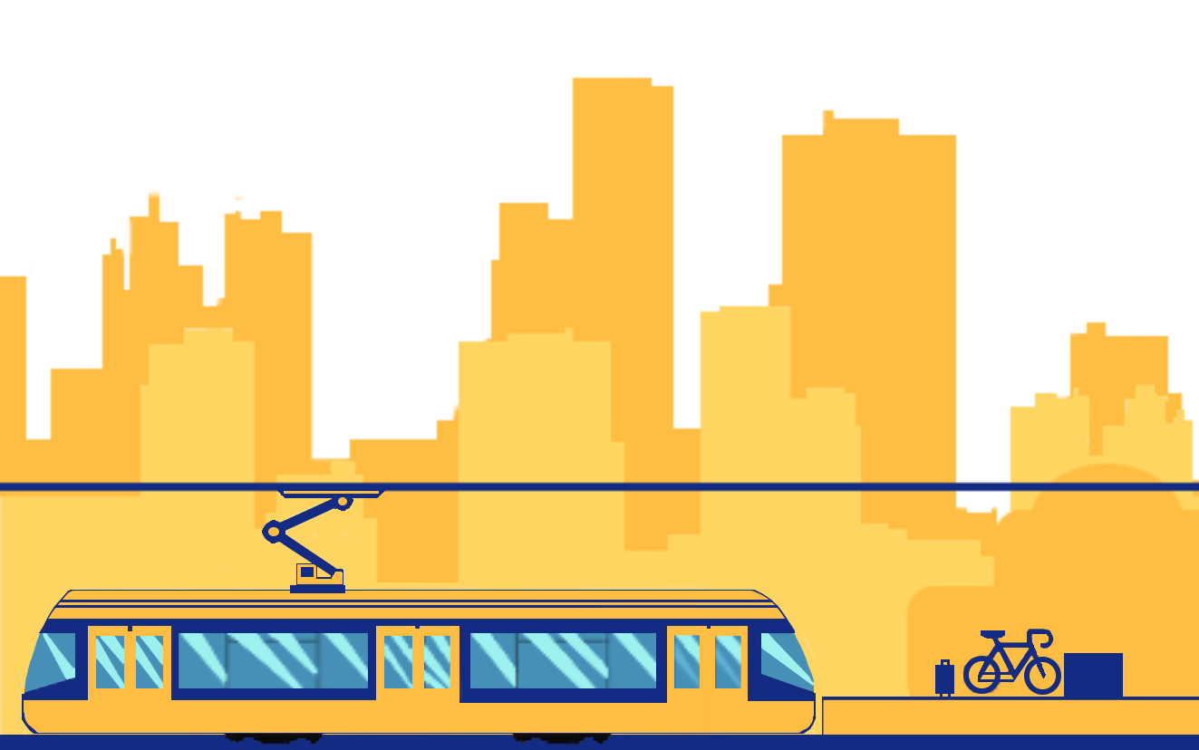
Prioritizing improvement corridors, identifying where your commuters are coming from and what options they're using to get to your business district, transportation target groups, how stakeholders would rate your routes, and how problem areas become plans for implementation.
We're building a community of people who want to help improve the world and have great intellectual conversations. We post three times a week.
GIS Sensing runs on green servers. Need help configuring and managing your renewable energy server? Contact us and we'll help set up your green web maps and green data processing tools. We can administer, host, manage your data publishing and web mapping system, or even just give you tips on how to start. Improve your footprint and migrate to renewable energy servers for all your web data publishing.