Mission
To Future Clients and Partnering Organizations,
GIS Sensing exists to track changes and solve problems. Serving people and the environment alongside experts in their field and our partnering organizations from around the world. We're committed to factual assessment, to providing the crispest and clearest answers for complex problems. To represent information honestly and with integrity, upholding and often surpassing industry standards. Our assessments, tools, and targeted data help clarify and achieve objectives while improving communication with customers, stakeholders, and your communities.
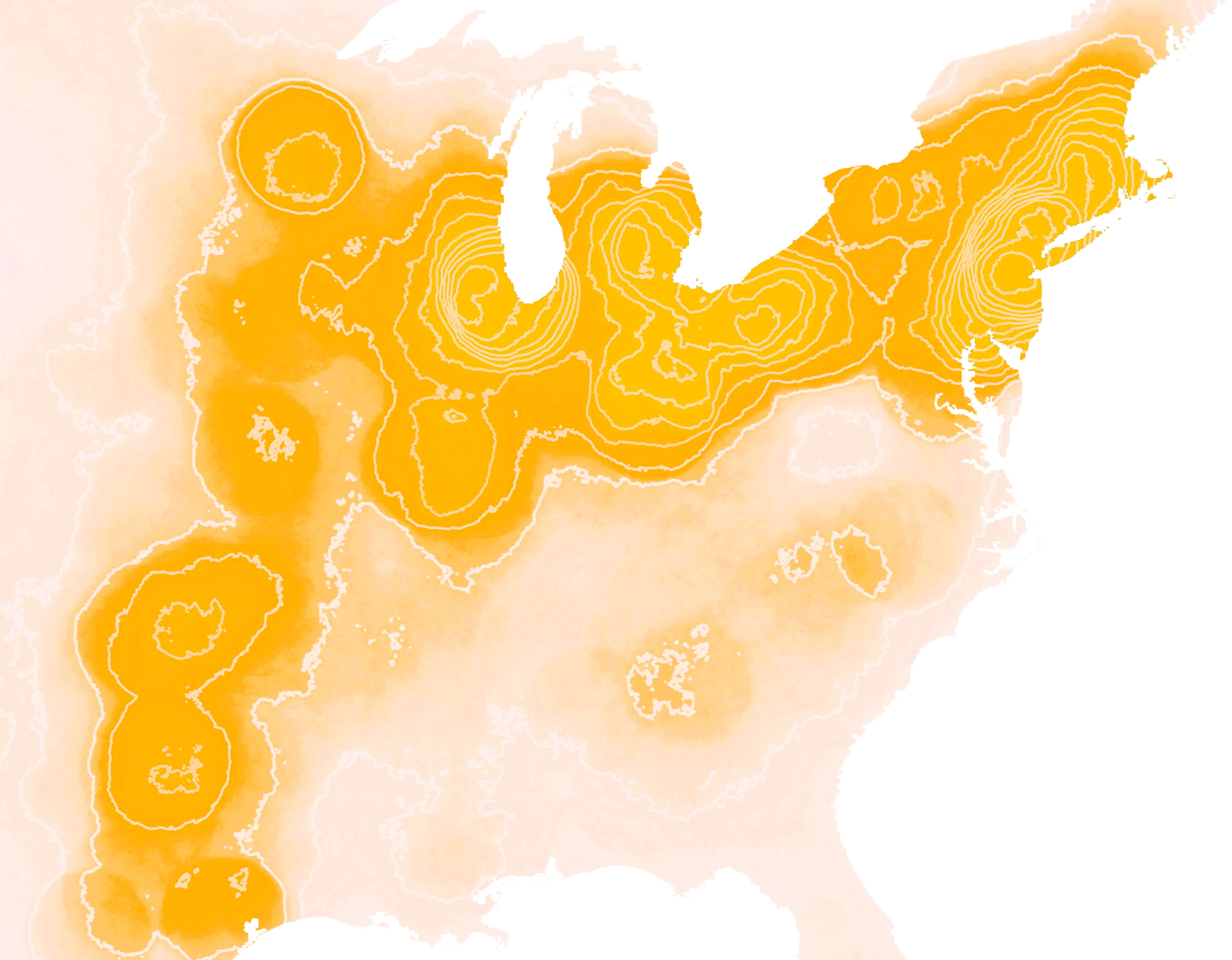
Despite diversity across country lines the one thing which always strikes me is how communities the world over face similar problems. Every metropolitan area has a traffic issue, every region is looking to strengthen energy production and minimize risk of their utility's grid, many farmers are facing loss of arable lands, small economies are reinventing themselves to better fit and flourish in changing markets. With GIS we can learn from your past, assess your present, and help you design the major decisions for your future. We've seen spatial data with the power to justify life-changing decisions for neighborhoods, vulnerable populations, and struggling ecosystems. To be sustainable in business we're committed to making our partnering organizations stronger.
Good luck in your future endeavors.
Sincerely,
Amy Butler